
I left Brisbane on the 7th and took the Toowoomba bypass rejoining the highway somewhat west of Toowoomba. By lunch time I had reached Goondiwindi and by about 3pm was approaching Narrabri. I decided to stop at Gurley for a break, setting up the portable radio and antenna not far from the silo next to the railway line. I made about 30 contacts for the Siota program there, using both ssb and cw on 40m.
In this part of NSW the sunsets can be very picturesque.

Next morning I left Narrabri early and travelled east into the Mt Kaputar National Park. The first stop was at Mt Kaputar which is the highest summit in the NW region, vk2/NW-001. The views from the summit are excellent over 360 degrees.
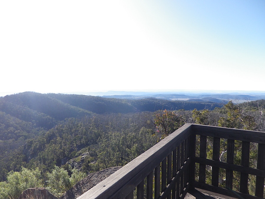
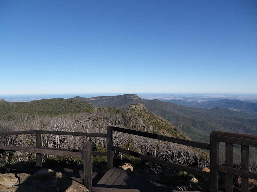
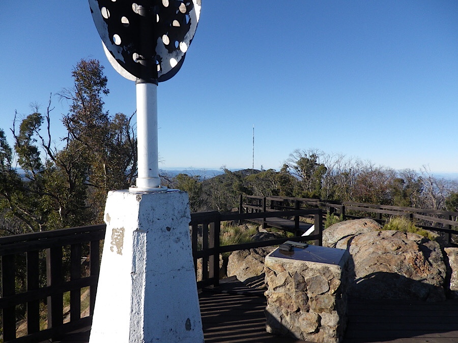
I set up my antenna pole in the corner of the viewing platform, one end of the doublet was extended to the north along the rough and rocky ground there, the other was taken down to a point on the railing, down the stairway somewhat. The radio equipment was setup between the trig and a stone obelisk with a directional map embedded in the top face. The temperature at about 9am was about 5 or 6 C.

I made a lot of contacts quickly on 40m ssb, then some more on CW. Going to 15m I made one contact with JS1UEH.
As I was listening to one side of a contact being made by a Japanese operator on 10m, two Japanese people arrived at the viewing platform and I spoke with them briefly. They were delighted that I could say a few words in Japanese, basically the words for good morning, thankyou, goodbye, my name is Andy, etc. They asked me to be in photos with them. They were extremely polite and expressed great interest in what I was doing on the mountain.

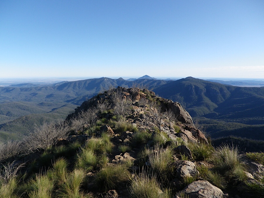
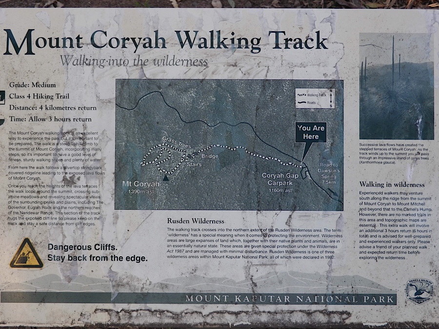
After completing my activation at Mt Kaputar I drove back towards Narrabri, stopping at the Coryah Gap parking area. Here is the trailhead for the walk up to Mt Coryah. As you can see from the photo, this map has seen better days, but even this information is useful to the first time walker.
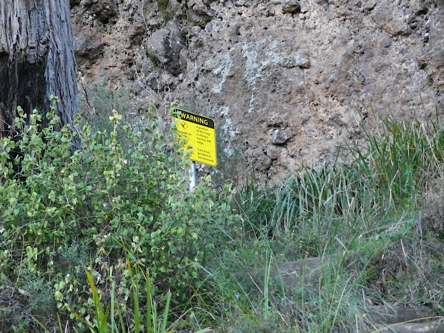
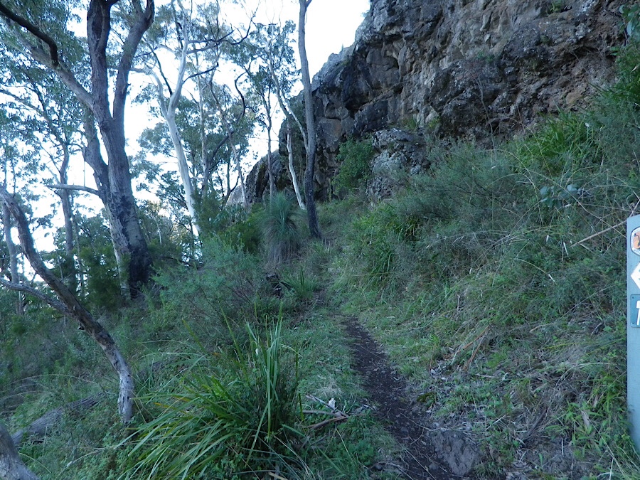
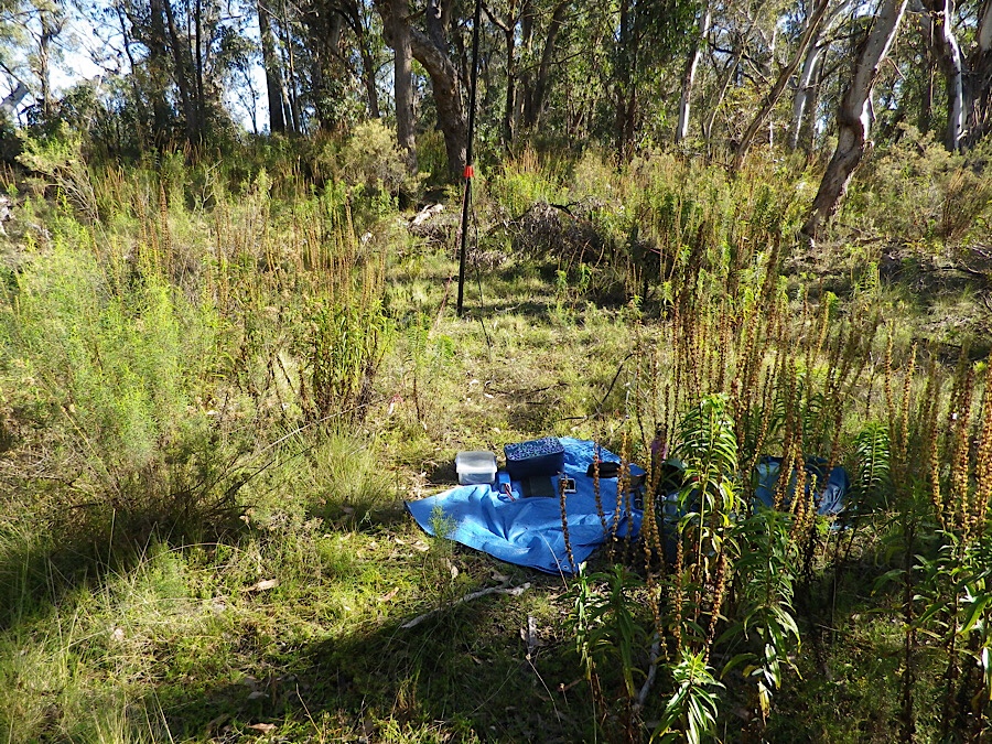
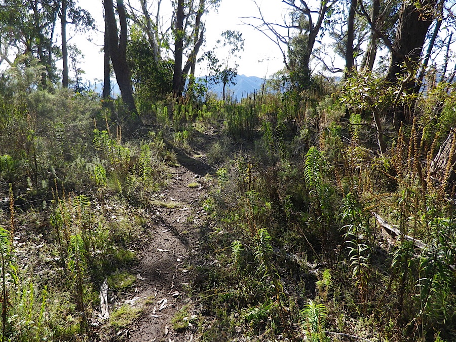
After walking several hundred metres up from the parking area, the path has some steps and several sections of steel walkway and stairs. Eventually you come to a point where the path diverts to the left and another path joins from the right. Taking the left another few hundred metres the path starts to rise as it climbs up to the summit. At the summit I set up my radio gear and antenna.
After an hour’s operation I realised I still had to drive to Coonabarabran, about 115 km from Narrabri, so I packed up and walked back to the car to resume my trip.

I made 30 contacts from this summit, including some on 20m with Europeans.
Both summits are given 8 points in the SOTA award program so this was a productive day for me.

You must be logged in to post a comment.