

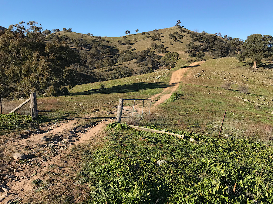
I had been postponing a repeat visit to this summit ever since my only activation in 2013. The first 1km or so is very steep and is quite a challenge. However, with many of the VK1 summits inaccessible due to the Namadgi National Park closure, which followed the long running bush fire in the summer of 2019/20, I decided that this was my chance to revisit the summit.
Setting off from a laneway in the suburb of Banks at around 8:30 one frosty autumn morning I soon warmed up and had removed two layers by the end of the first kilometre.
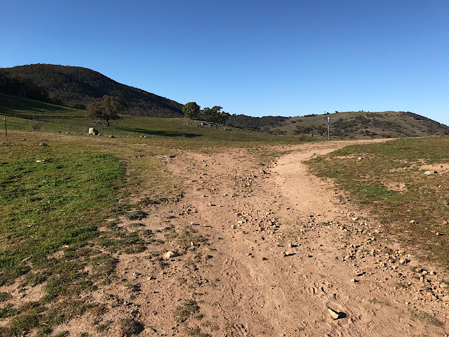
The walk is about 5km, similar to the Bullen Range walk. It took me about 1 hr 40min this time.


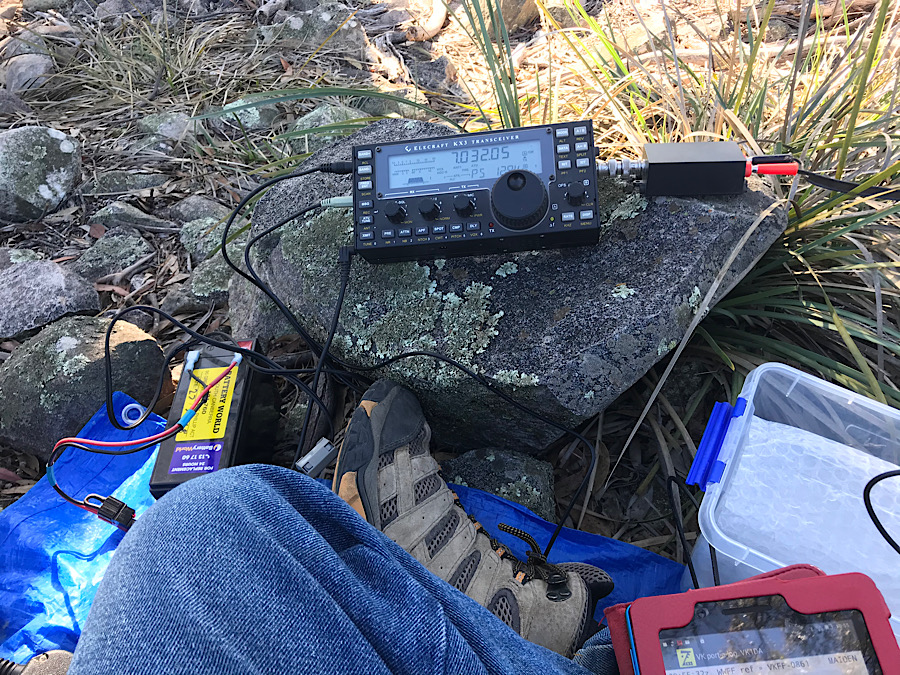
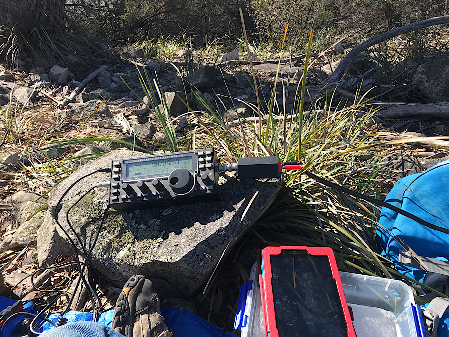
After reaching the trig point, I set up the HF antenna and looked for contacts. There were plenty, mainly on 40m but some also worked on 80m and 20m. I did listen on 17m but signals were very low.
40m produced the most contacts, which were again mostly on CW, but with a few on SSB.

On 2m FM a few local contacts were made with Andrew VK1AD, Wade VK1MIC and another callsign who was new to me.
Weather: it was a fine day and was close to zero Celsius when I left the car. After the first 1km I had warmed up so much I removed my jacket and the fleece, leaving just a long sleeved cotton work shirt. That was enough until I had cooled off at the top of the climb, when I put the fleece back on. Sitting in the shade of a large tree I got cold after a while and was glad the sun moved enough to move the shade off to the east. By 11am it was about 10-12C, much more comfortable. No wind.
At 11 AM and after 22 contacts I was thinking of lunch so I packed up and returned to the car. Again it was well over an hour for the return leg of this summit activation.
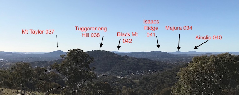
On the way down I noticed I could see a number of SOTA summits to the north. Tuggeranong hill, Mt Taylor, Black Mt and Mts Ainslie and Majura in the far distance, about 25km away.
Overall I think this activation was a bit harder than I had expected despite having been here before, in 2013. After a 5km walk (each way) there is a certain amount of satisfaction in having made the summit and qualified it for the SOTA points.
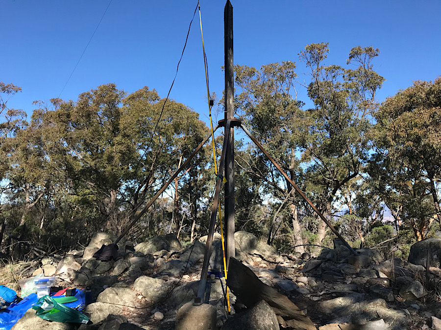
Qualified the summit for SOTA using both CW and SSB. Contacts made on 80, 40 and 20m. Then also on 146.5 FM, local contacts using a 5w hand held radio and a half wave dipole antenna (flowerpot style). On HF my radio was an Elecraft KX3 and a ZS6BKW style 28m wire antenna, fed in the centre by a 11m length of 300 ohm tv ribbon. The feedline was connected to the KX3 via a home made 1:1 choke balun.
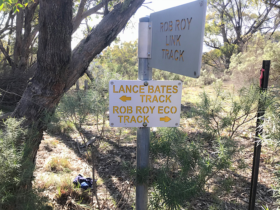
Mt Rob Roy is located to the east of the suburb of Banks in South Canberra. It is located inside the Rob Roy Nature Reserve which has a code in the WWFF award scheme. Access to it is open, though some of the walking path goes through grazing property so walkers are expected to close gates they open and keep to the path.

You must be logged in to post a comment.