
My daughter and I drove to Melbourne and while there, we drove out to Mt Donna Buang where we found lots of snow, the next day I activated Camels Hump near Mt Macedon, then Pretty Sally on the third day. More summits followed.
Mt Donna Buang VK3/VC-002
This popular summit is about 50 km east of Melbourne. Once you leave the major roads you are on country roads travelling through some very pretty countryside. After going through Warburton, we followed the signs to the summit. The summit road was in good condition though towards the top there had been a grader working to clear snow off the road, resulting in a line of slush that was best avoided. The parking area about 3 km from the summit was the limit and the road up to the summit was closed. There was a coffee and donut vendor operating in the parking area and some families were using nearby snow to entertain children.
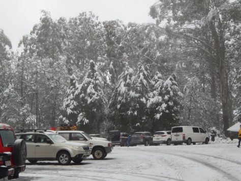
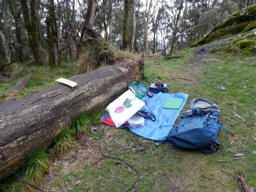
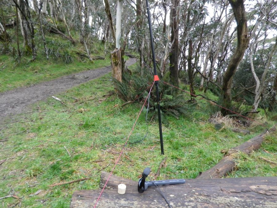
We walked up to the summit on a bush track covered in 15 to 20 cm of snow. at the summit the snow was 30cm deep and more, I looked around for a suitable place to operate from and found a building with some BBQs and that looked to be ideal. I put up my usual antenna on the guyed pole, having to dig through the snow down to the ground to put the pegs in.
40m was working normally, I made 9 contacts on ssb, 7 on cw, then moved to 20m and made 5 contacts on CW there, including F4WBN, F5JKK, OK2PDT, SM5LNE and a big surprise, W6LEN. By then it was 4pm and Amie was concerned about walking down in the dark, so I shut down and packed it all up in 20 minutes. We got back to the car at 5pm and imagined a nice warm pub with hot chocolate and some hot snacks. After reaching Warburton some web searching found a suitable pub that matched our needs perfectly.
Summary of contacts
7 mhz CW: 7, SSB: 9
A new unique summit for me.
14 mhz CW: 5 (Sweden, France, Czech Republic, USA)
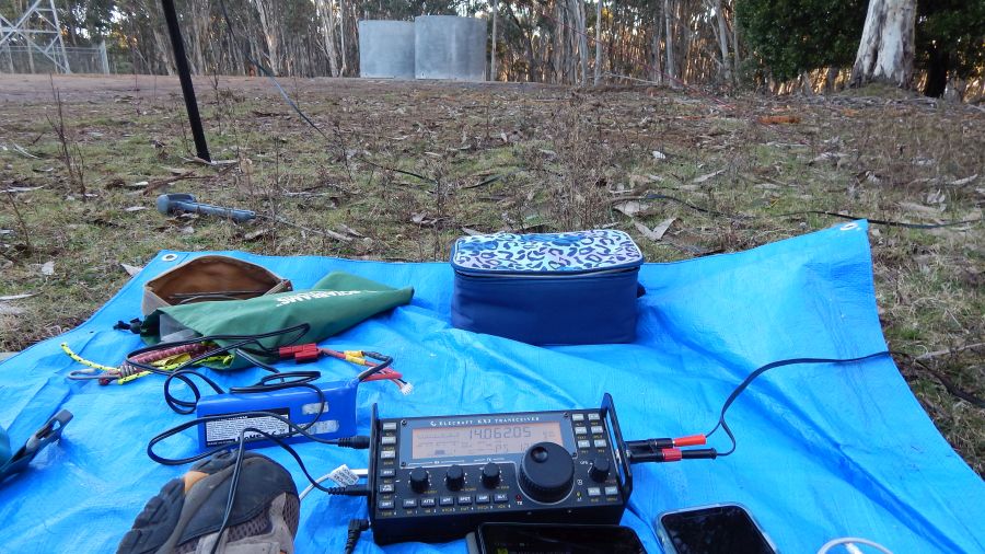
Equipment: KX3 at 10w, ZS6BKW doublet antenna, 7m pole.
Summit is within VKFF-0556. Log submitted and uploaded.
Camel’s Hump VK3/VC-040
This summit replaced Mt Macedon when a review of elevations several years ago revealed that this peak was slightly higher. They are both on the same ridge so only one can be the SOTA summit. This is included in the document by Ron VK3AFW titled “Easy day trip SOTA activations around Melbourne” which can be found in the OZSOTA files section at groups.io.
It is reached by following the signs to Mt Macedon but turning off into a car park a few km short of Mt Macedon and the memorial and cafe there.
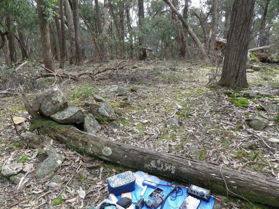
From the car park, a short mild walk uphill finds the actual summit with a lookout in the form of a steel structure about 5m high, a rocky peak a few metres lower than the summit and a saddle in between, only about 10m below the summit (from memory). I operated from the saddle.
Afterwards I stopped at the cafe in the Mt Macedon township and had a good coffee and some food.
Summary of contacts
7 mhz CW: 11, SSB 10
14 mhz CW: 6, SSB: 2
3.5 mhz ssb: 1
Contacts made into southeast Australia, New Zealand and the USA (Texas and California). A new unique summit for me.
Summit is within the Macedon regional park VKFF 0972. Log submitted and uploaded.
Pretty Sally VK3/VC-034
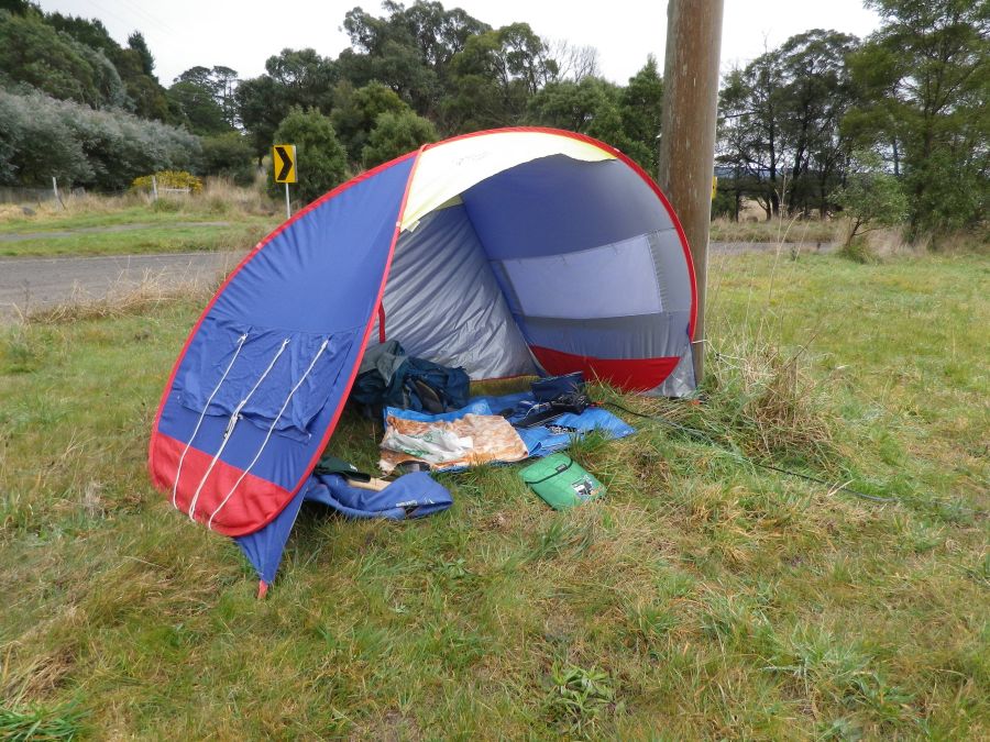
On my way out of Melbourne I headed north and took the left turn towards Wallan. After going through Wallan I turned left onto the road that goes past Pretty Sally. The roadside is within the activation zone according to my GPS so I set up in some very squelchy and muddy grass. I used the shade tent for shelter from a light rain shower that scudded across the grey sky for a few minutes.

Contacts made: 8 on 7 CW, 7 on 7 SSB, 2 on 10 CW and 1 on 3.5 CW. A new unique summit for me.
VK3AFW was again the contact on 80m.
After packing up at Pretty Sally I wanted to head north for a while and I stopped for lunch at a small town where there was no sign of rain or clouds. Quite a difference to the weather down on the hills north of Melbourne.
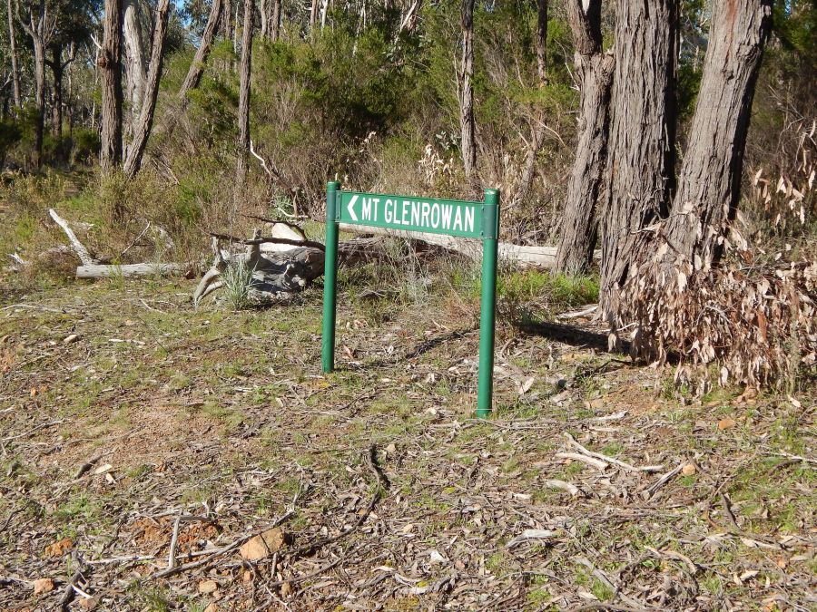
Then I drove to Wangaratta and surveyed the approach to Mt Glenrowan through the Warby Ovens National park. having worked out where to start the next morning I found accommodation for the night and a meal.
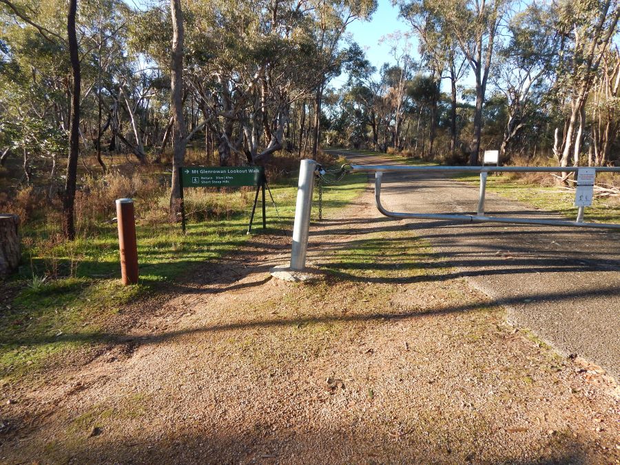
Mt Glenrowan VK3/VE-230 and VKFF-0742
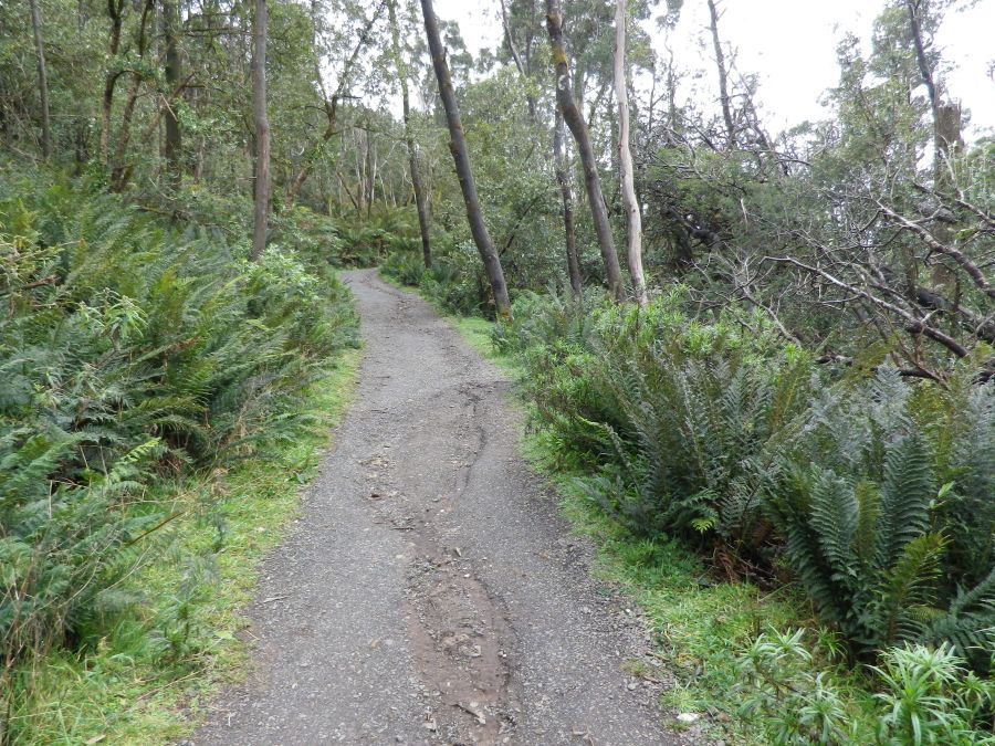
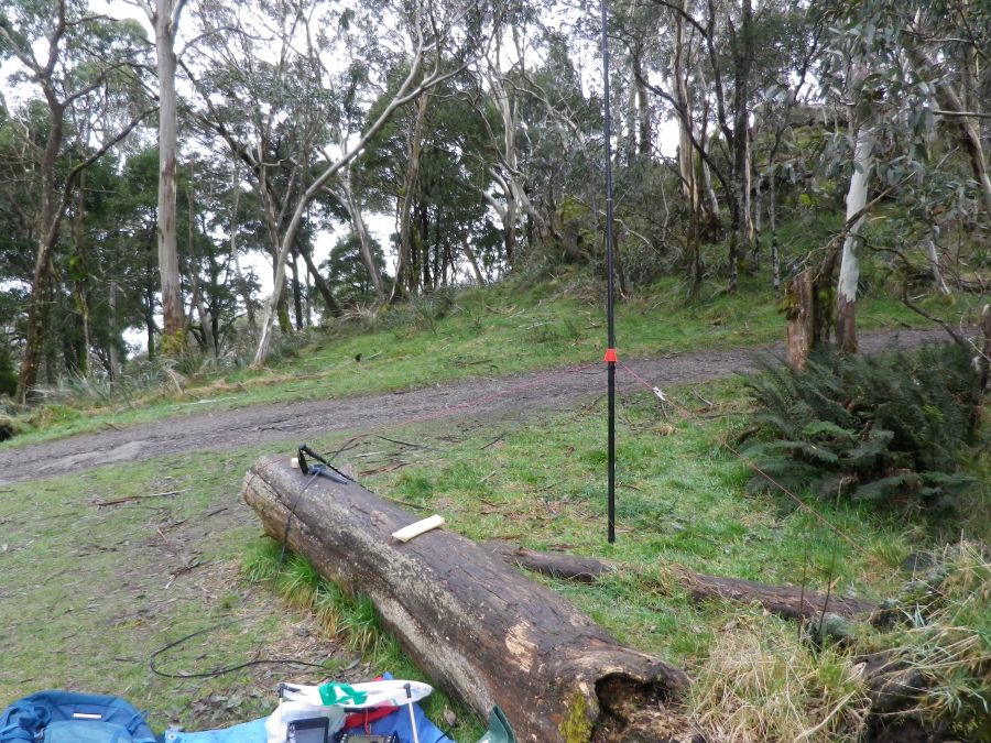
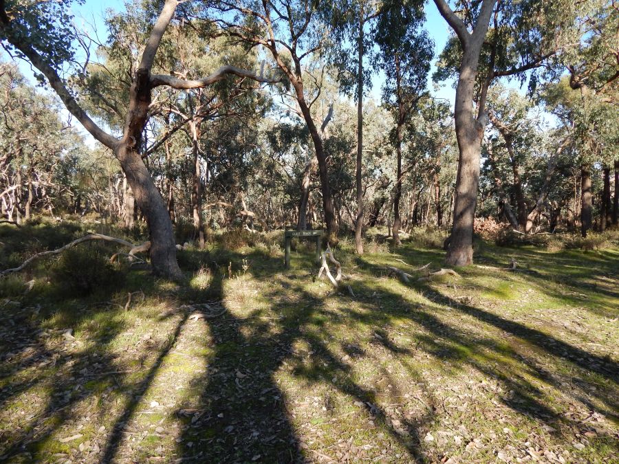
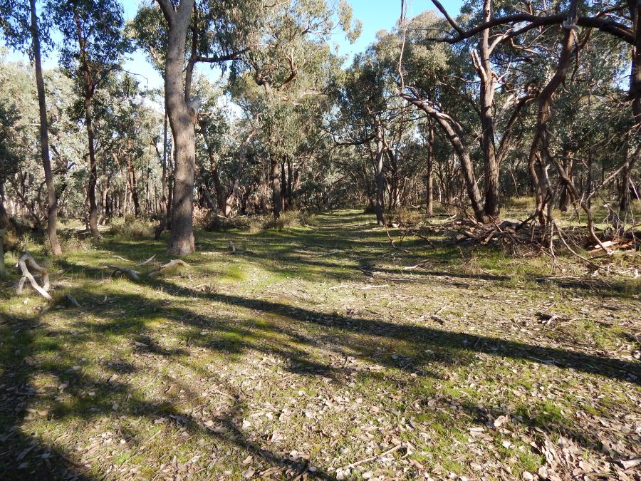
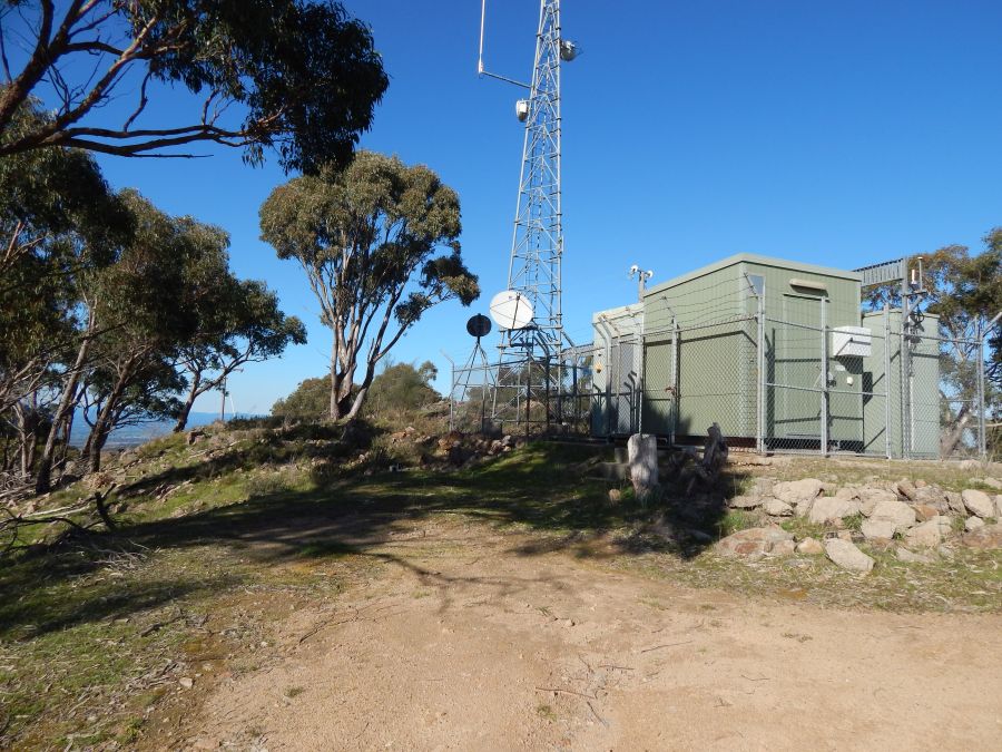
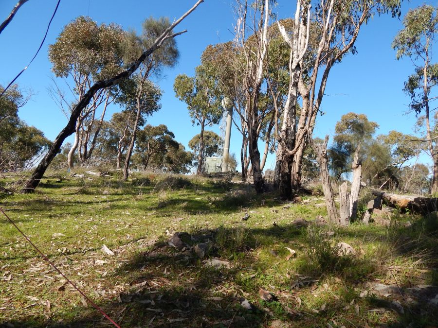
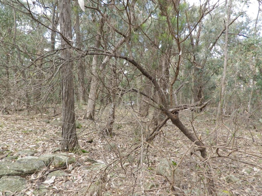
As can be seen from the summit coding, this region has a lot of summits as it covers a lot of snowfields on the eastern side of the Hume Highway. This 1 point summit is one I have driven past many times and I was curious to see what the approach was like through the national park. I was not disappointed. The park was quiet and peaceful. It was a very easy walk through the park to the summit, with only a mild climb for the last few hundred metres. At the summit there was a compound containing the usual building and tower, so I set up my station about 50m north of it to avoid any noise from the equipment in the building.

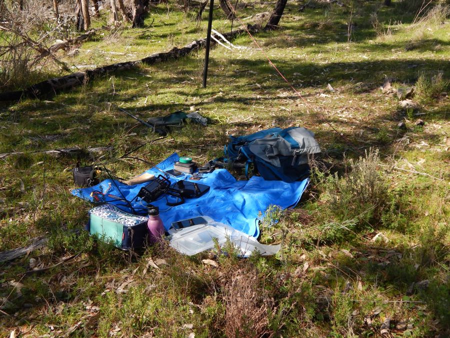

Most of the 41 contacts made from this summit in two hours were on 7 Mhz. A few on 10 mhz and a few on 14 mhz. But the usual dx was not flowing on 14 and only one ZL and only one JA was worked. This was another new unique for me, both as a summit and a VKFF park.
After getting back to my car I headed direct to Mt Stanley for my next activation.
VK3/VE-126 Mt Stanley
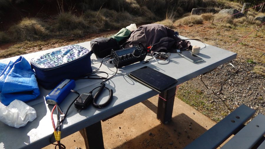
Arriving at Mt Stanley I found I was the only person on the summit so could use the picnic table as my operating desk.
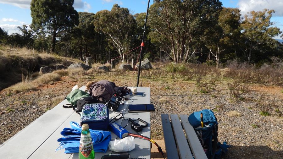
Once the gear was connected and the antenna was up, I looked at spots on Sotagoat and ParksnPeaks (IOS apps) then VK Port-a-log on the tablet and saw that Warren VK3BYD had been operating in a park and was now on 10 MHz. So I quickly moved to his frequency and heard him either finishing a contact or calling CQ. Made a contact with him immediately, good to support other activators.
After that I went down to 7 mhz and ran through a list of callers on both CW and SSB. A surprise contact was with Terry G0VWB in England on 40m SSB. I was running 10 to 15 watts – this always amazes me.
After 16 contacts on 7 I went to 14 and worked 5 on ssb there, including F4WBN and F5JKK in France, OK2PDT in Czech republic, SM4CJM in Sweden and DL6MST in Germany.
I could have worked a lot more on 14 but I wanted to reach Mt Big Ben before sunset to qualify it. So with the last contact logged at 3:39pm or 0539Z I packed up quickly and drove around to Big Ben.
Mt Big Ben VK3/VE-105
Setting up as quickly as possible I was on air logging vk3pf at 0707, 1hr 20m after my previous contact. This time I made five contacts on 7 mhz ssb, and astoundingly the fifth was with Terry G0VWP in England again, on 10-15watts.
Then followed 8 CW contacts on 14 MHZ, again with F4WBN, OK2PDT, ZL1TM Andrei in New Zealand, JA1VRY in Japan, ON7QR in Belgium, SM5LNE Sweden, VK6NU John in Western Australia, JH1MXV in Japan.
Changing bands again back to 7 mhz but CW this time, worked VK3PF, 3XU, 2WP, 2BJT, 4KC, 1ACE, 4SYD, 4TJ and 5SFA ending just after 6pm local time 0800Z, the sun had set by then and darkness followed with the trees to the west blotting out a lot of the dusk.
Used the head lamp to guide me in packing up the station and the antennas, checking for forgotten items on the forest floor and finally getting away at about 6:30 pm with the high beam LED driving lights picking out all kinds of forest life, mainly roos, on the way back down to the road.
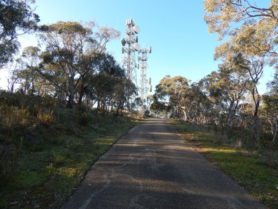
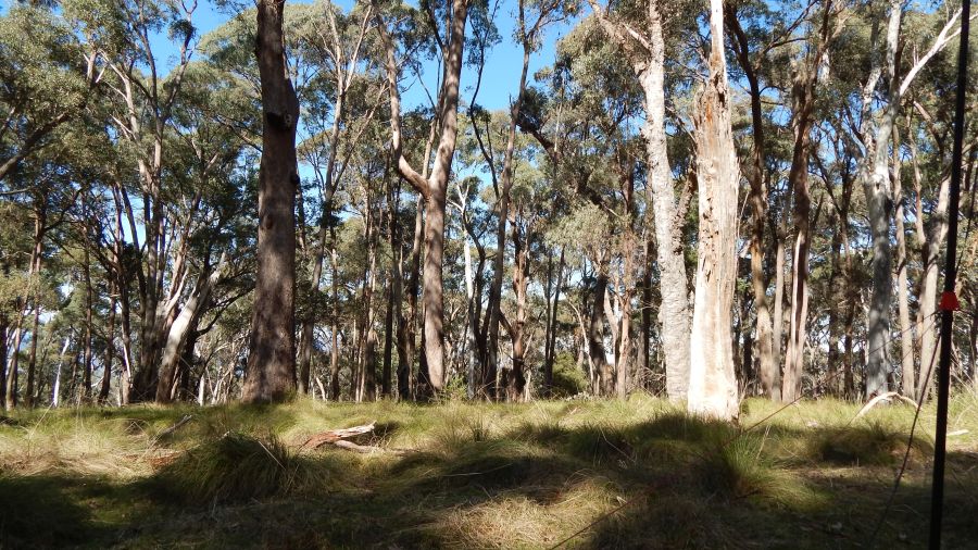
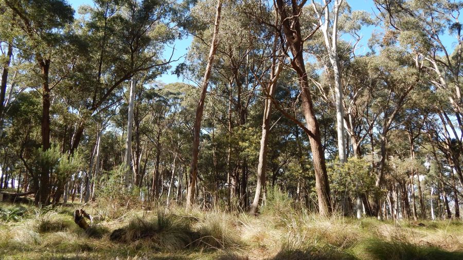
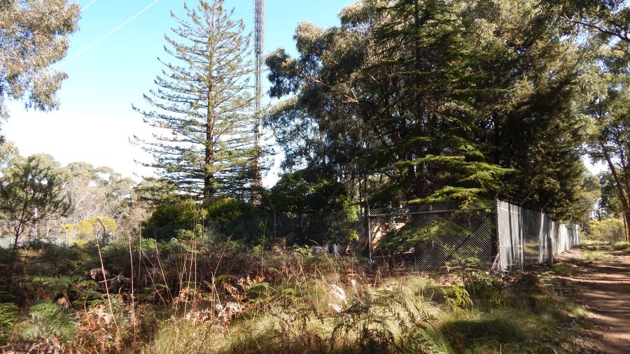
Mt Baranduda VK3/VE-189
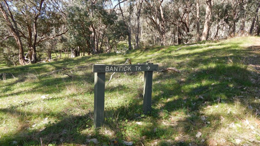
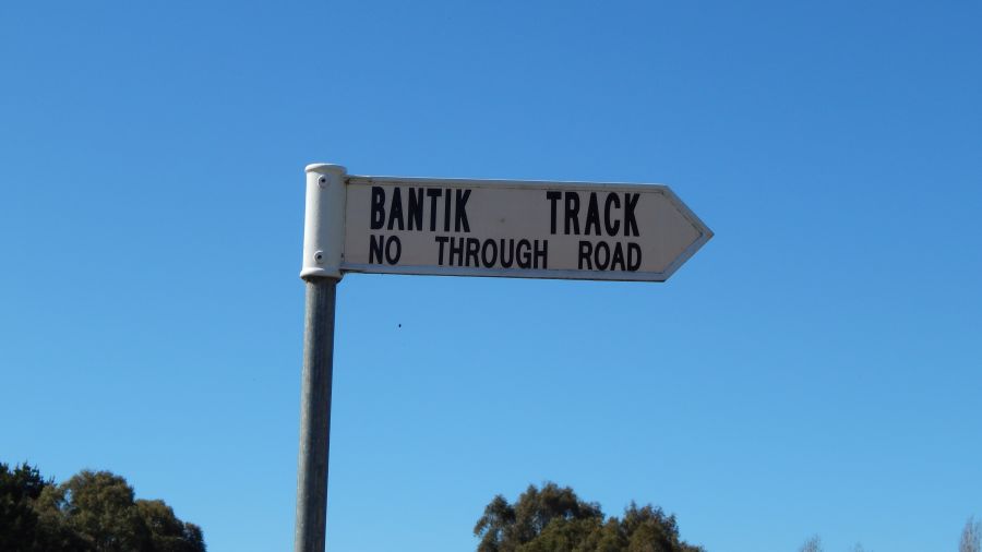
The next morning I was driving up the “obvious” access road to Mt Baranduda and arrived at a Private Property sign and no way was seen to contact the owner. A desperate phone call to Peter VK3PF found the other way up this summit so I followed his advice (after taking a wrong turn and missing the landmark he told me about) and eventually made it up there.
The intersection to find on your GPS is the intersection of Bantik (or Bantick) track and the Beechworth-Wodonga road C315.
If I had gone the right way in the first place, I would have been there before 0000 UTC but as it was I arrived right on 0000 and it was 20 minutes before I was on air making my first contacts.
Conditions were not too good on 14 and I only made one contact there, but made 44 on 7 mhz. 31 on ssb and 14 on CW. This summit was a new unique for me, as was the park.
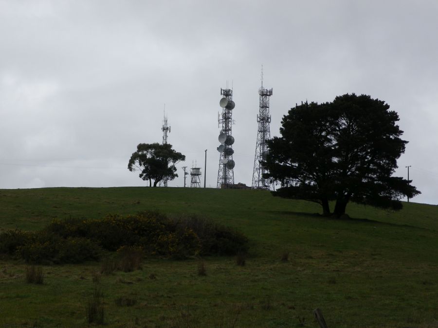
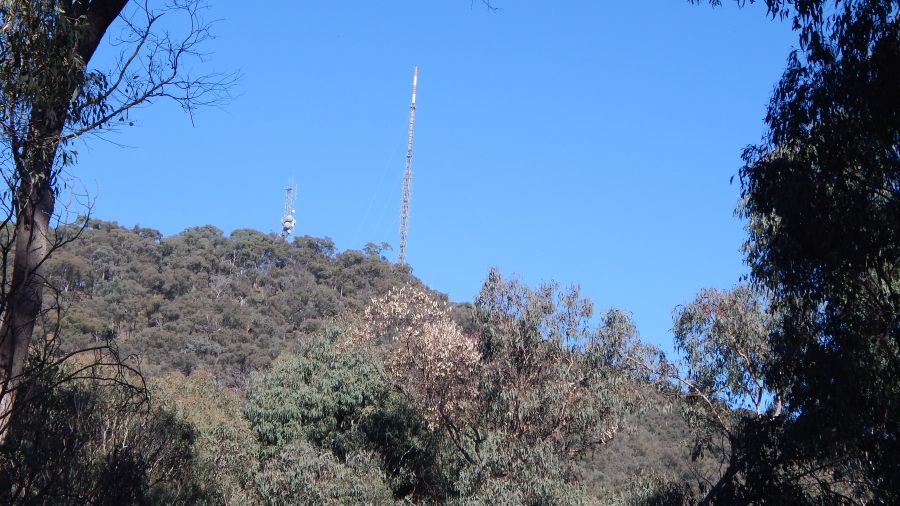
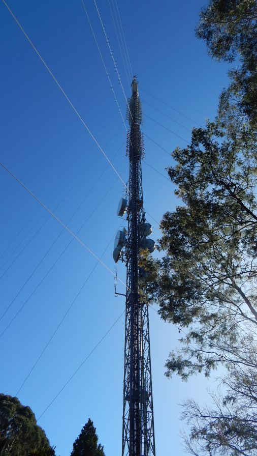
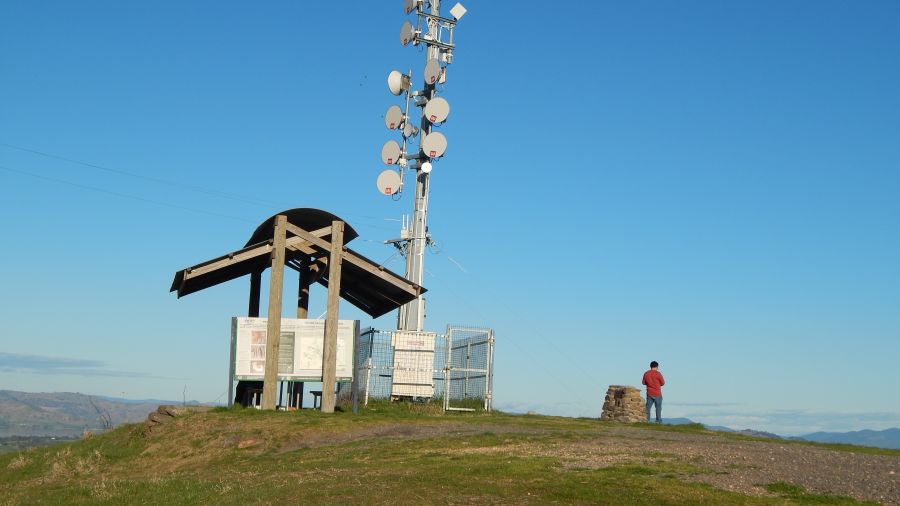
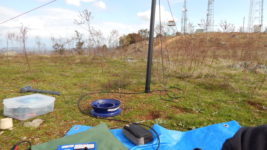
The tower shown in the photos below is the TV transmitter tower servicing (presumably) the Wodonga and Albury areas.
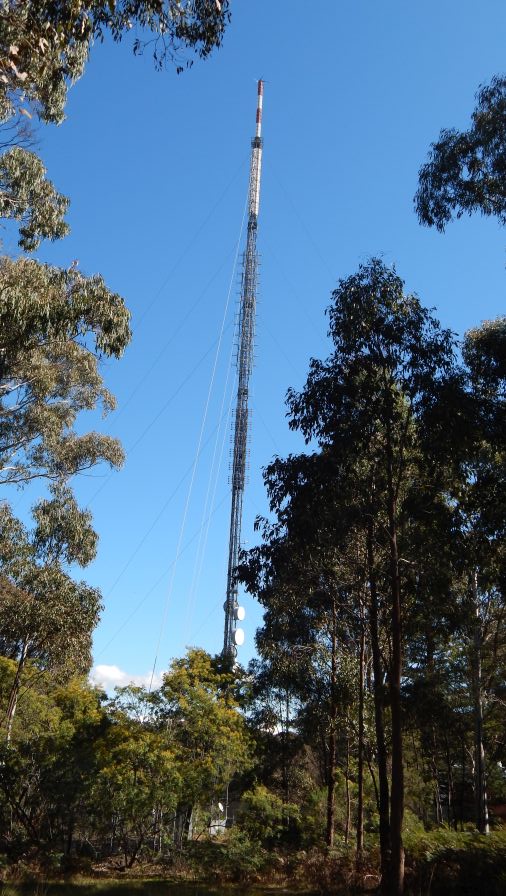
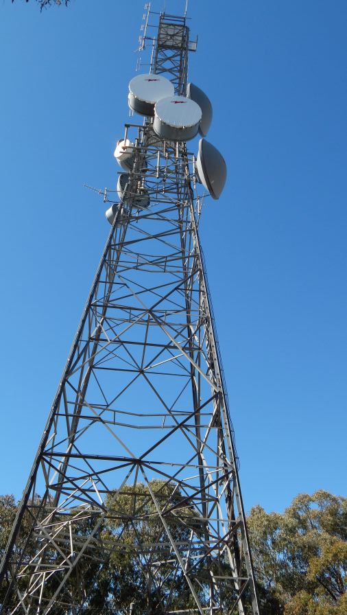
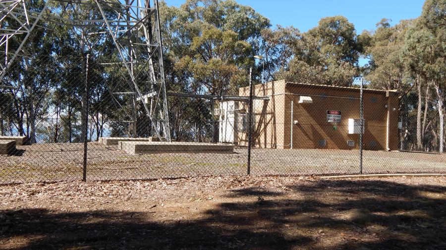
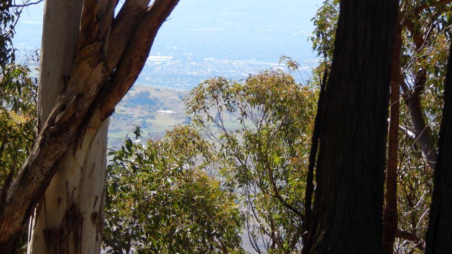
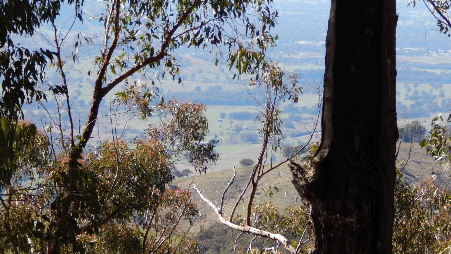

Huon Hill vk3/VE-237 in Wodonga
This hill is a popular sight-seeing Hill just south of the Murray river east of the Wodonga town centre. This was also a new unique for me. I was unaware at the time that this was also a new park for me…
Contacts made: 23 on 7Mhz, 12 on 14 Mhz. 19 on SSB and 16 on CW.
On 14 Mhz the regular dx contacts were made into France, Italy, Czech Republic, Sweden and England. also, a contact was made with VK0WN in Antarctica, not often I make contacts down that far south! And gain on 7 mhz ssb, Terry G0VWP came through with a weak signal (but mine must have been weaker) from England. Absolutely amazing.
That was the end of my activations in Victoria on this trip.
VK2/RI-051 and VK2/RI-016
North of Holbrook I followed the guidance from Peter 3PF on the summit reference page for RI-051. I turned east VK2/RI-051 along little Billabong Rd, then turned south east on Tumbarumba road, then south west on Copabella rd. A few more turns in the forest and I was at the nearest approach to the summit. This was a new unique for me.
At RI051 I made only 12 contacts, all on 40m.
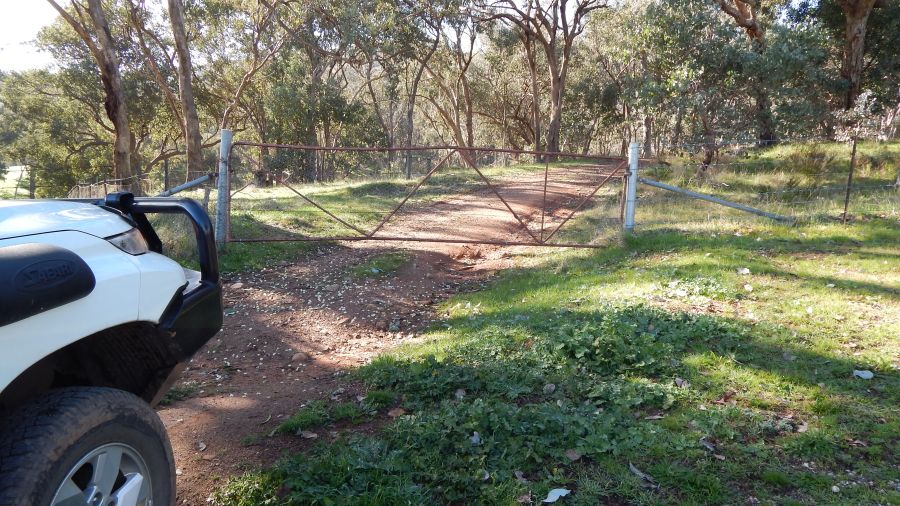
After leaving RI-051 I went back to Tumbarumba rd and headed towards the Hume Highway. a few km short of the highway, the turnoff to RI-016 was on the left and it was an easy drive through the forest to reach the gate. I found the gate was locked but downhill from it, drivers have been driving through the fence as the wire has been cut. I decided against driving up to the summit and walked for a little over 1 km instead.
At RI-016 I made 29 contacts on 7 mhz and 23 contacts on 14 mhz, with the dx coming in during the late afternoon. Nearly all the Europeans worked over the previous week were also worked from this hill and more. Conditions seemed very good on the long path to Europe.
A good way to finish the week and the trip.


You must be logged in to post a comment.