
Gippstech is a technical conference convened by the Eastern Zone radio club in Gippsland, Victoria, Australia. While the trip from the Canberra area is about 650-700 km it is worth it because the content of the presentations is uniquely valuable. Some presenters are very skilled both in the technical work they do and in presenting it. Some are even entertaining!
As the trip from Canberra takes me past a number of SOTA summits and WWFF parks and nature reserves, it seems only sensible to call into those locations and run up the activator score a bit.
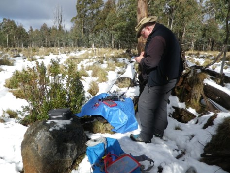
So I activated
- The Peak VK2/SM-068 (8+3)
- Mt Delegate VK3/VG-034 (8+3)
- Goonmirk Rocks (8+3)
the first two on the trip to the conference and the third on the way back. I originally intended to activate the three summits on the southbound journey but I was running behind on time and had to skip the third one on the first day.
While at the conference I stayed with a long term friend Peter VK3PF and we naturally started to discuss what summits were available to be activated on the day after the conference. One thing led to another and that led to us heading up into the hills north of Morwell on the Monday. The summits activated that day were:
- Conners Plain (8+3)
- Mt Selma (8+3)
- Mt Useful (8+3)
- VK3/VT-034 (6)

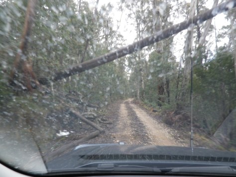
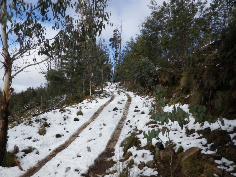


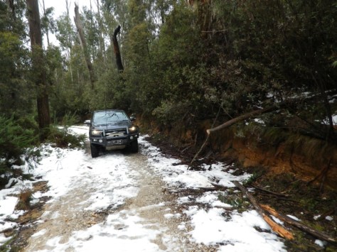
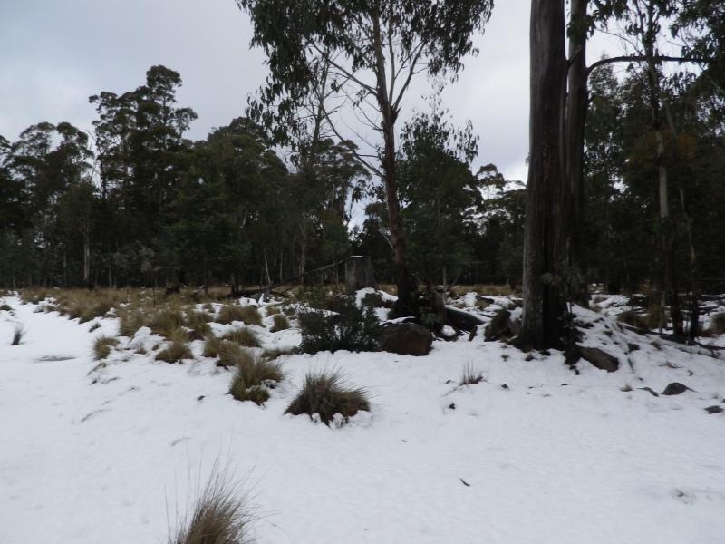

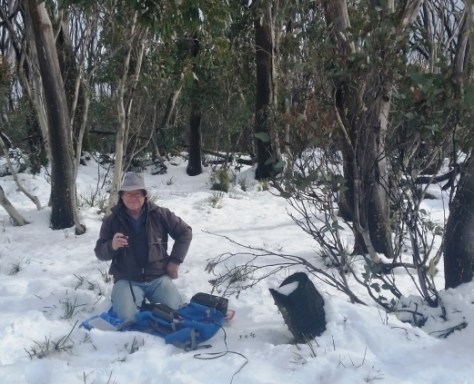
On the following day I activated Goonmirk Rocks on my way north. I only have a few photos of the forest, more interesting than radios and antennas actually…

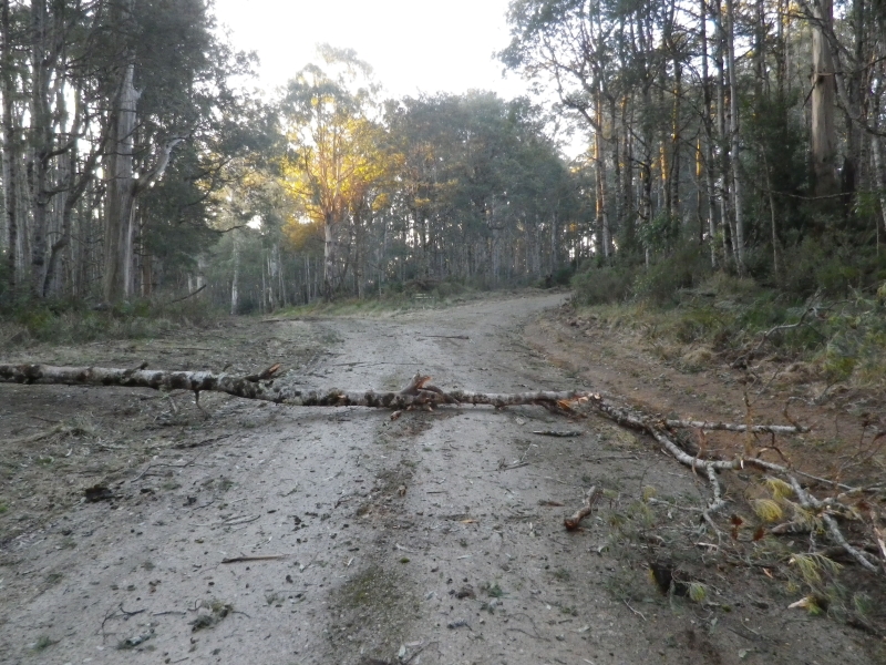

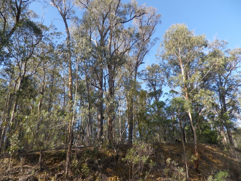
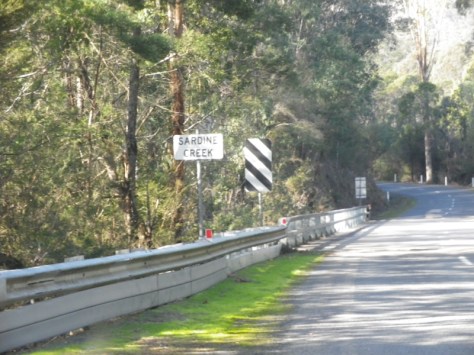
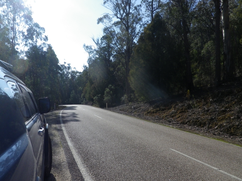

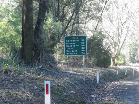
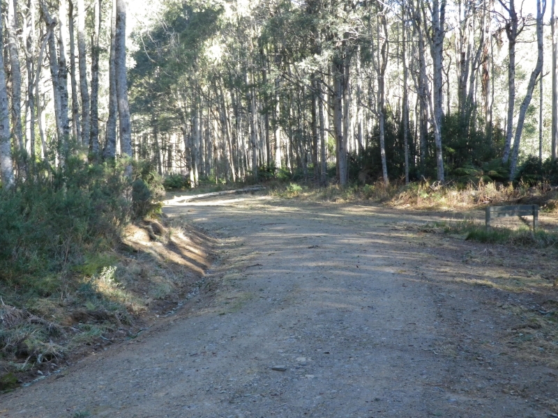
Once you are in this forest you are in Erinnundra National Park. My silly GPS referred to it as Errindundra. But then, every animal warning sign is displayed on the GPS as “animal crossing” which is also rather silly.
This weekend’s haul provided 72 points at a time when I was nearing the 1k mark and was very welcome. Only 16 points to reach the Mountain Goat level after this weekend.
Thanks to Peter VK3PF for doing all the driving on the Monday and advising on routes etc.

You must be logged in to post a comment.