
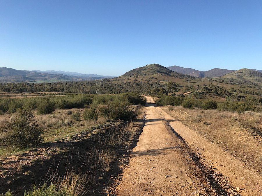
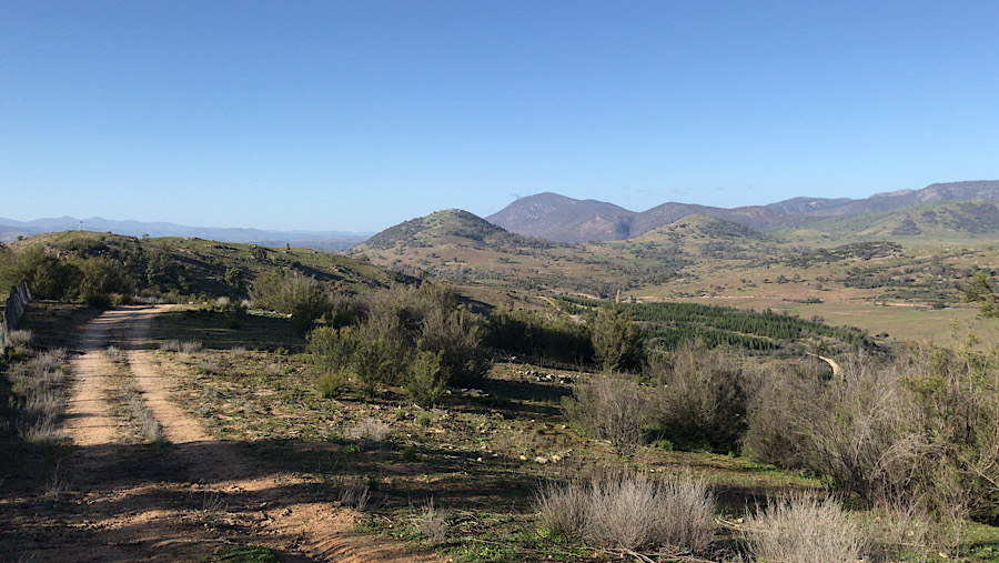
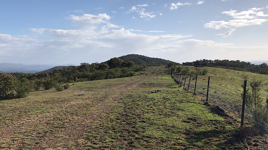
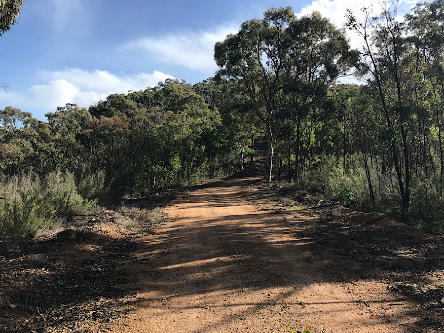
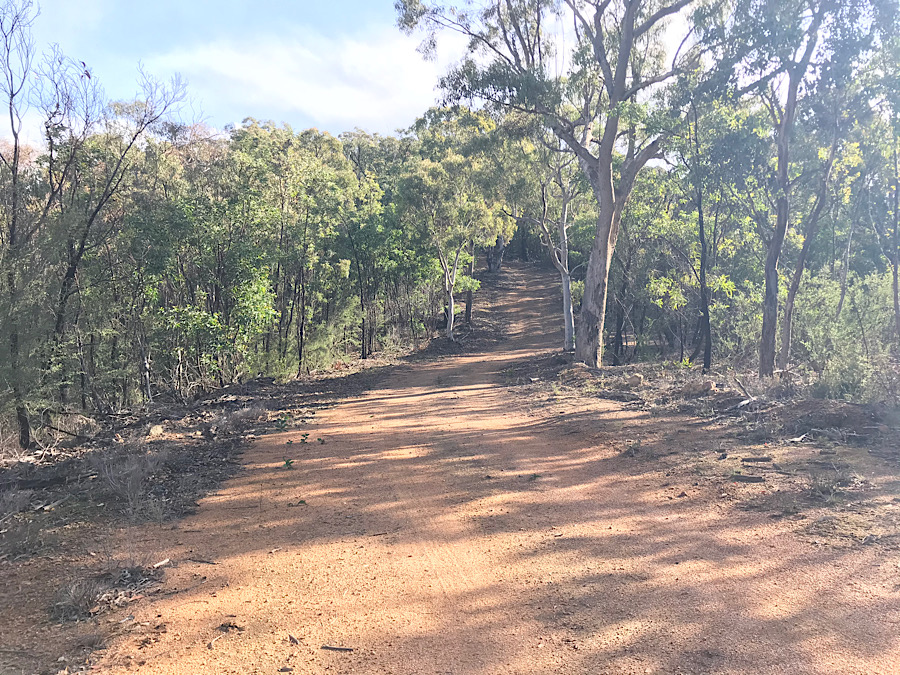
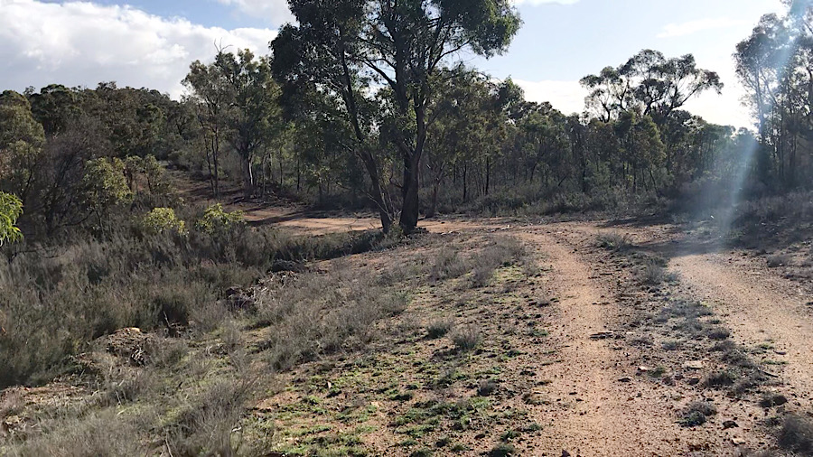
The walk up to the summit of Bullen Range is a 5km effort, with a few steep sections but mostly reasonably level walking along a fire trail. Access is from Tidbinbilla Road which connects the village of Tharwa with the Tidbinbilla Nature Reserve. Bullen Range is a few km west of the Tuggeranong Town Centre.

The map above shows Tidbinbilla Road and the connection from the suburb of Gordon. The river shown is the Murrumbidgee. Crossing it at Point Hut Crossing and then turning right onto Tidbinbilla Road leads to a parking spot at a gate into the Bullen Range area just east of Paddy’s River.
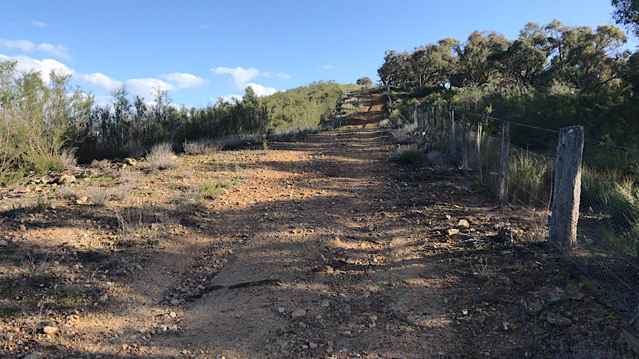
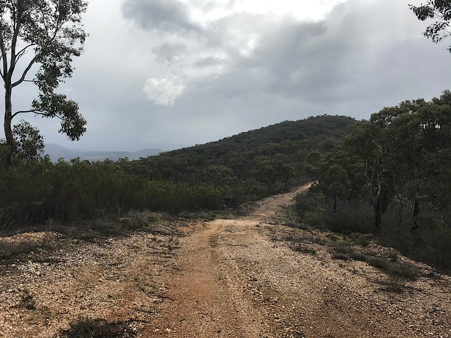
There are six gates to pass and only one can be unlatched. You need to climb over the rest. The track goes to the west of Barnes Hill, then two right turns lead to an uphill climb to the ridge line. This 5km trip took me about 90 minutes this time.

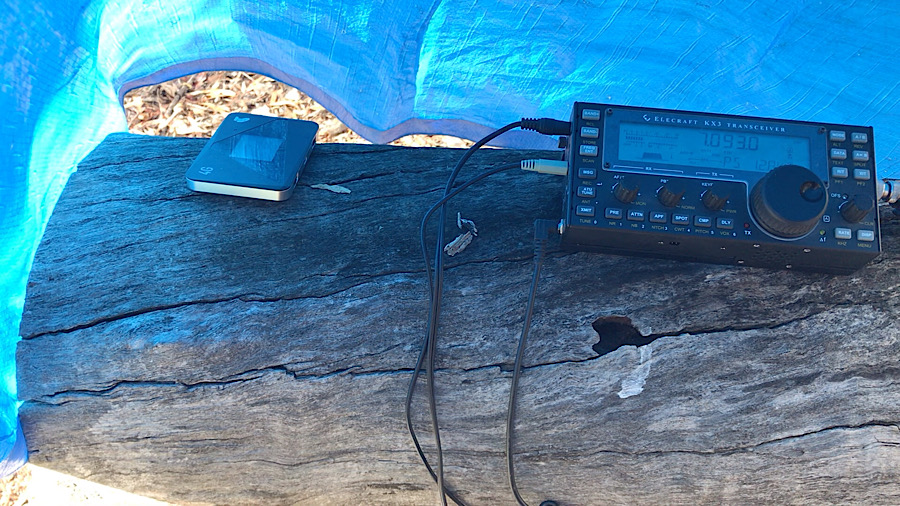
After arriving onsite and making several quick contacts on 2m FM with locals, the HF antenna went up on the telescopic pole. A felled tree served as an operating table and a wood stump became a seat.
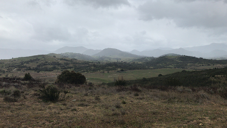
Just as the HF contacts started, the rain started. It had come from the west where my view was obscured by trees. The tarp I usually sit on was hastily set up as a rain shelter.
After the radio contacts dried up, and while the rain was still light, I packed away and set off back to the car.
After reaching the car and stowing the gear in the back, I sent a message to my WhatsApp group reporting that I was back in the car and en route home.
Summary
Travel distance to parking position. About 10 km from Tuggeranong town centre, south Canberra, via Point Hut Crossing over the Murrumbidgee river.
Walk distance from parking spot: about 5km each way.
Terrain and slope: along vehicle trails and fire trails. Some steep sections. Some rocky ground with slippery sections, care advisable. Six gates to climb over or go around (in one case only).
Summit elevation: 925m
Accessibility: good
Permission required: None. Location is the Bullen Range nature reserve, open to the public except in periods of total fire bans or when notified on the ACT Govt website.
Phone coverage: Optus and Telstra services are readily accessed here.

You must be logged in to post a comment.