
On the way to the Queensland Sunshine coast I stopped at the country town of Esk. It is located west of Brisbane. I was there just after not reaching the summit Mt Perseverence, VK4/SE-024 due to rain and road conditions. I may well have been able to reach the summit on foot, but I would be wet and muddy, not the best way to continue a road trip.
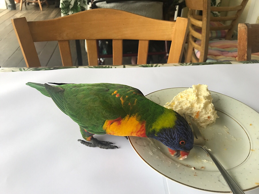
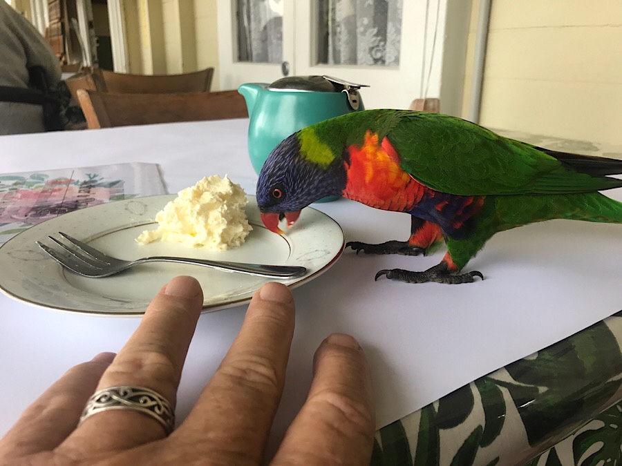
I stopped at a cafe for a break and while sitting outside on the verandah I noticed these brightly coloured birds which seemed very tame. they approached my table and decided to finish off my plate. Cream isn’t good for you, guys.
I then continued my trip past the Wivenhoe dam area, on to Kilcoy then though to Caloundra where I would stay for 10 days.
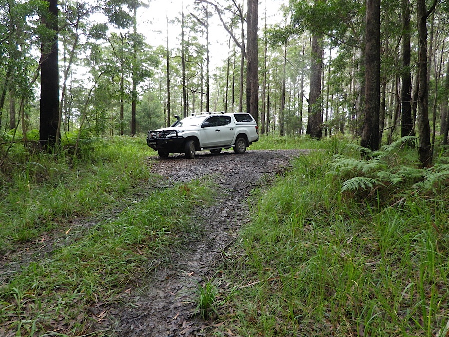
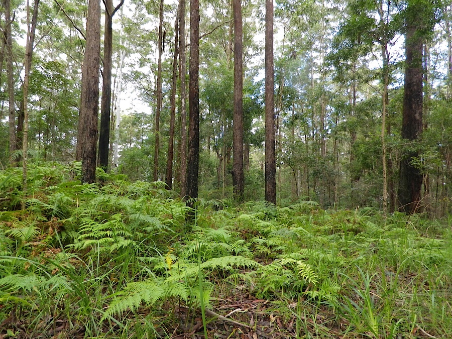
Several days later I found I had an opportunity to go out to some summits and found Mt Mary Smokes VK4/SE-041, 4 points, had been activated a few times only, but some comments from previous activators confirmed it should be reachable.
When I got there I initially thought the road to the summit was blocked by a sign saying No Entry, which usually means not even on foot. But a few minutes later I realised that was just a management trail and the road I was on actually intersected with the activation zone of the summit, which was only a few tens of metres off to the right in the forest. By choosing the right spot I could be in the AZ and also in the Ravensthorpe national park, so the activation would count for both SOTA and WWFF. Gerard VK2IO confirmed that is what he had done, and I don’t believe in re-inventing the wheel.
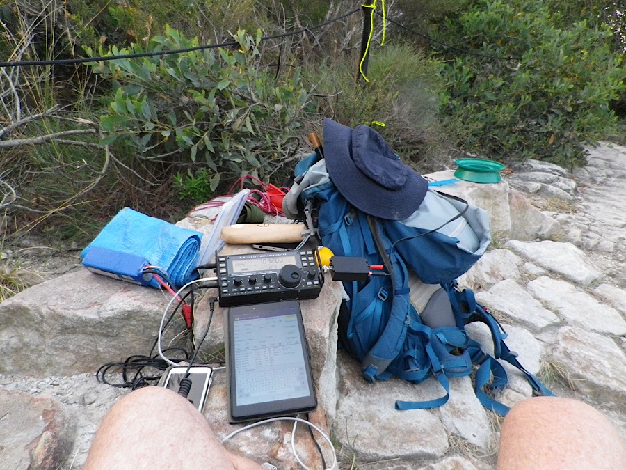
After completing this activation of 16 contacts, I returned to the coast and drove up to Mt Coolum to be on in time for the afternoon dx session on 20m.
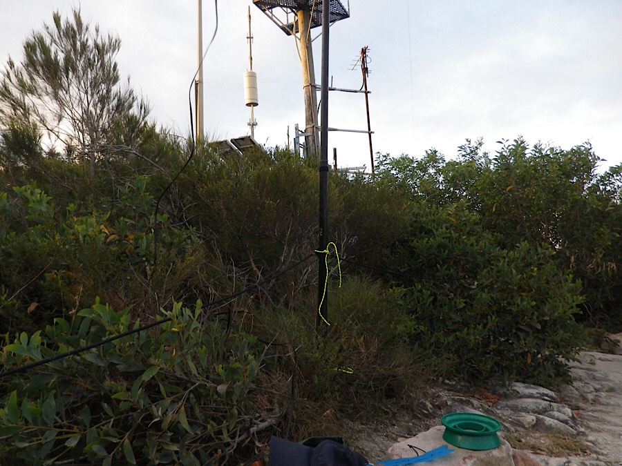
I set up my gear on a rock wall just south of the comms compound, with the pole lashed to a steel fence post. The doublet was extended to a tree just past the compound and to the south was tied to another fencepost.
I made 38 contacts from Mt Coolum. 22 of those were in Europe, mostly on CW. Contacts into other Australian states and New Zealand were also made, on 40 and 20m. Other VKs working into Europe were located in VK1/2/3 and seemed to be receiving stronger signals from the Europeans than I was. I don’t know whether the extra distance to my location would have been the reason for this (these signals are presumed to be coming on the long path from Europe, they have gone southwest from Europe, down past south America, dipped down towards Antarctica then swept up through New Zealand to Australia. On the globe they are taking a straight line but on a mercator projection of the globe the path appears to be in a huge curve as described.
There were many other walkers on Mt Coolum and some asked about what I was doing. I explained it to them and some were very interested. (There were no questions about whether I was a spy. I had an answer ready for that question… )
I left the summit at 5pm and got back to the car in almost complete darkness, using the light from my phone to guide me down some of the rocky steps.

You must be logged in to post a comment.